

Time: 1.5h
Lenght: 2.9km
480 meters of elevation gain, T2
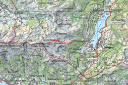
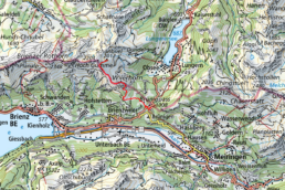
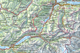
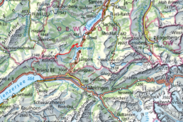
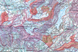
Whether you take the aerial tramway from Sörenberg or the historic cogwheel train from Brienz up to the Brienzer Rothorn, the high-altitude trail to Schönbüel is one of the most beautiful in the country thanks to its extraordinary panoramic views. Follow trail marker No. 65 (Grenzpfad Napfbergland) toward Schönbüel. Via Eiseesattel, you’ll reach Arnihaaggen (2,191 m), the highest point of the hike. You’ll be rewarded with a 360° panorama stretching from the Bernese Alps, across the Mittelland, all the way to the Jura and the Säntis. Continue along the high-altitude trail to Schönbüel. Alternative route tip for sure-footed hikers: If you still have enough energy, you can climb to the summit of the Höch Gumme just before the cairn marked with the Bernese chrome-steel flag. With a little luck, you might encounter ibex here that belong to the Rothorn colony.
For the descent from Schönbüel into the valley, there are both shorter and longer routes to choose from. The shortest one takes you to Turren, and from there you can take the cable car to Lungern. For those in top shape, a descent via Mändli-Feldmoos to Kaiserstuhl is a great option.